

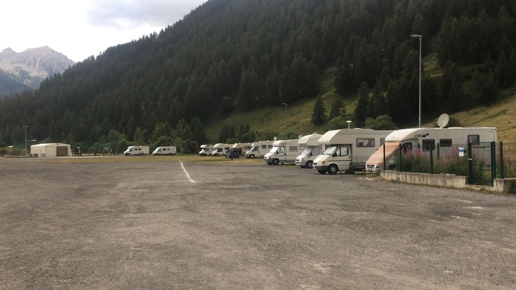
Free Entrance

Annual Opening

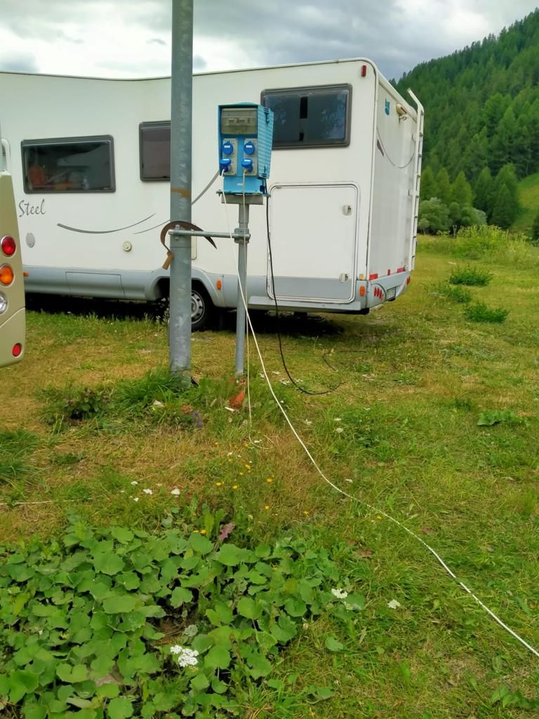
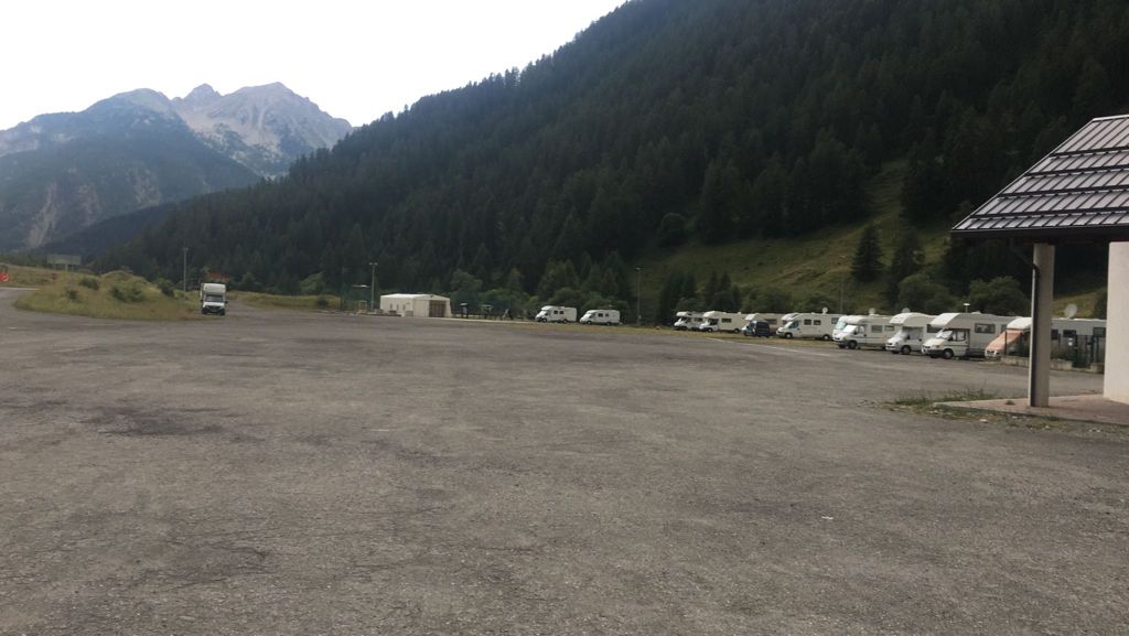
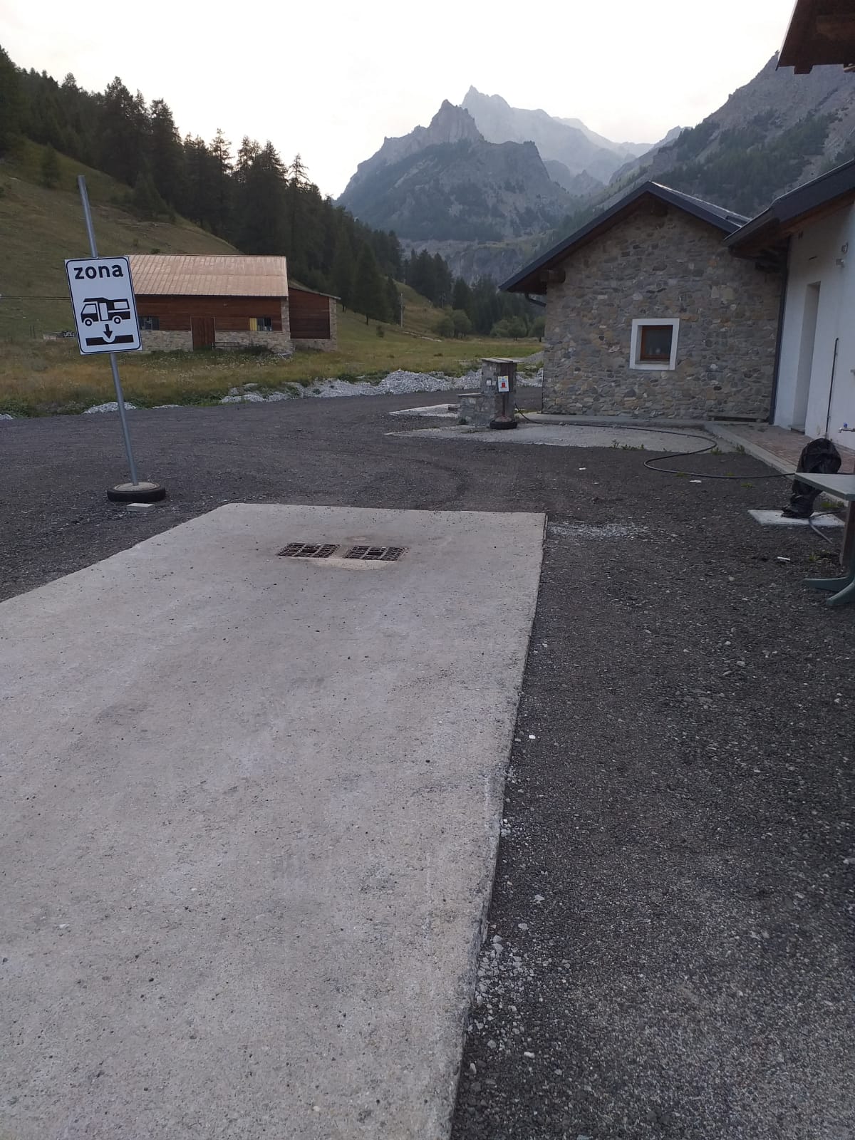
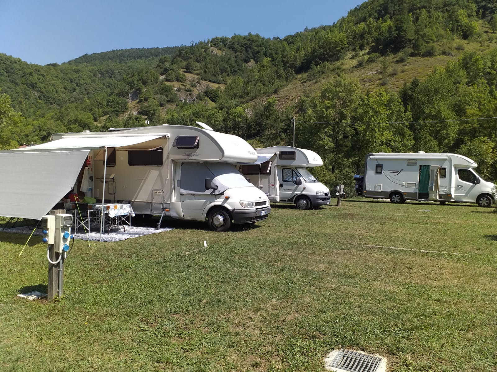
Electrical Connection

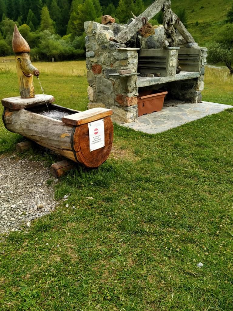
Water Load

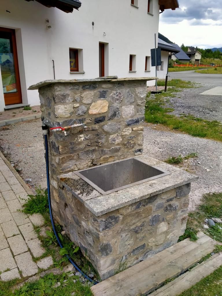
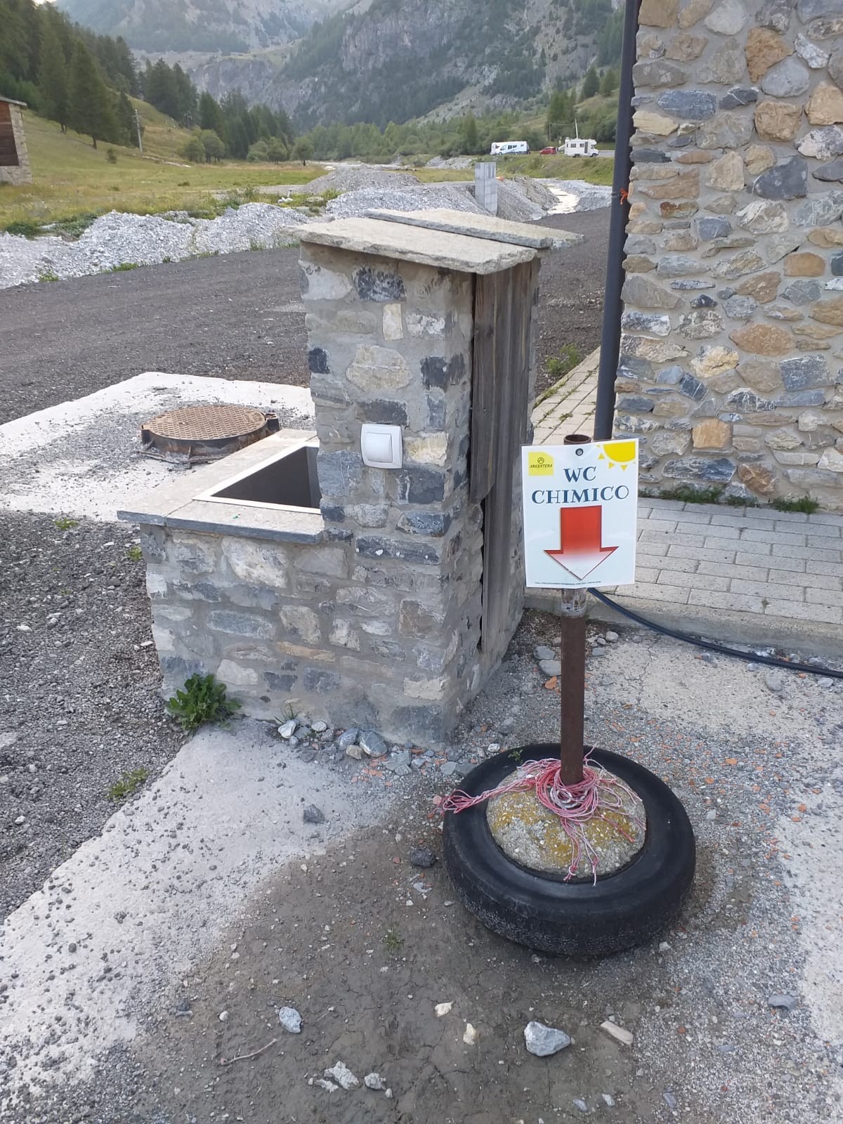
Waste Water Discharge

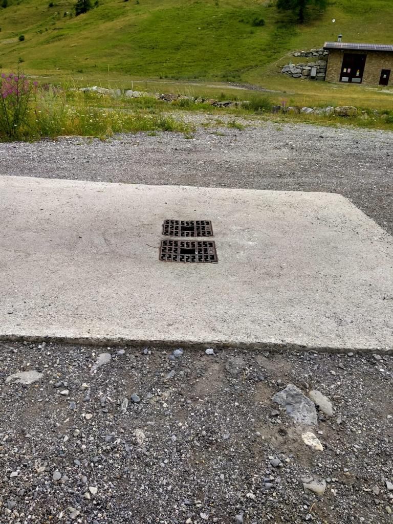
Empty-Cassette Service

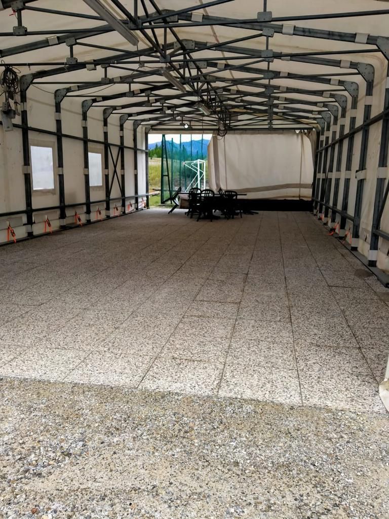
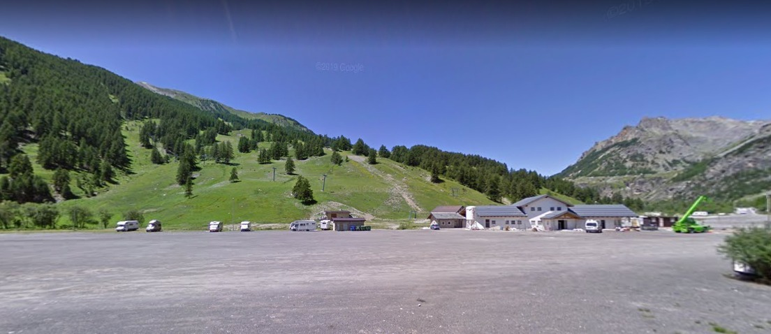
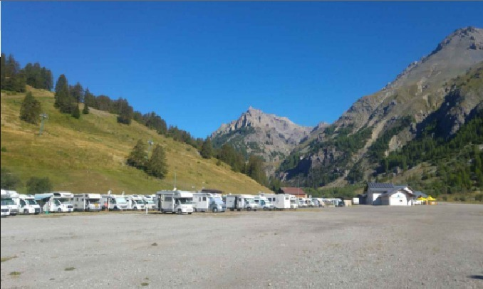
Gravelly Bottom

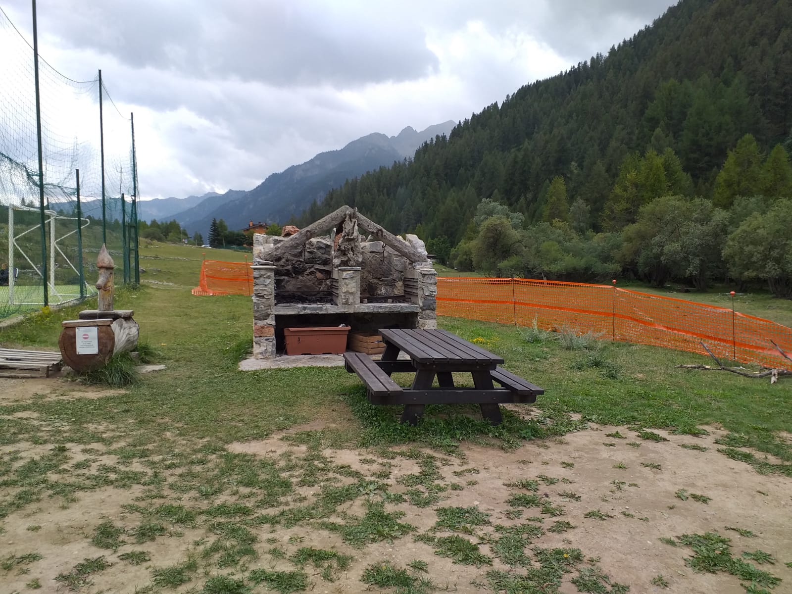
Barbeque Area

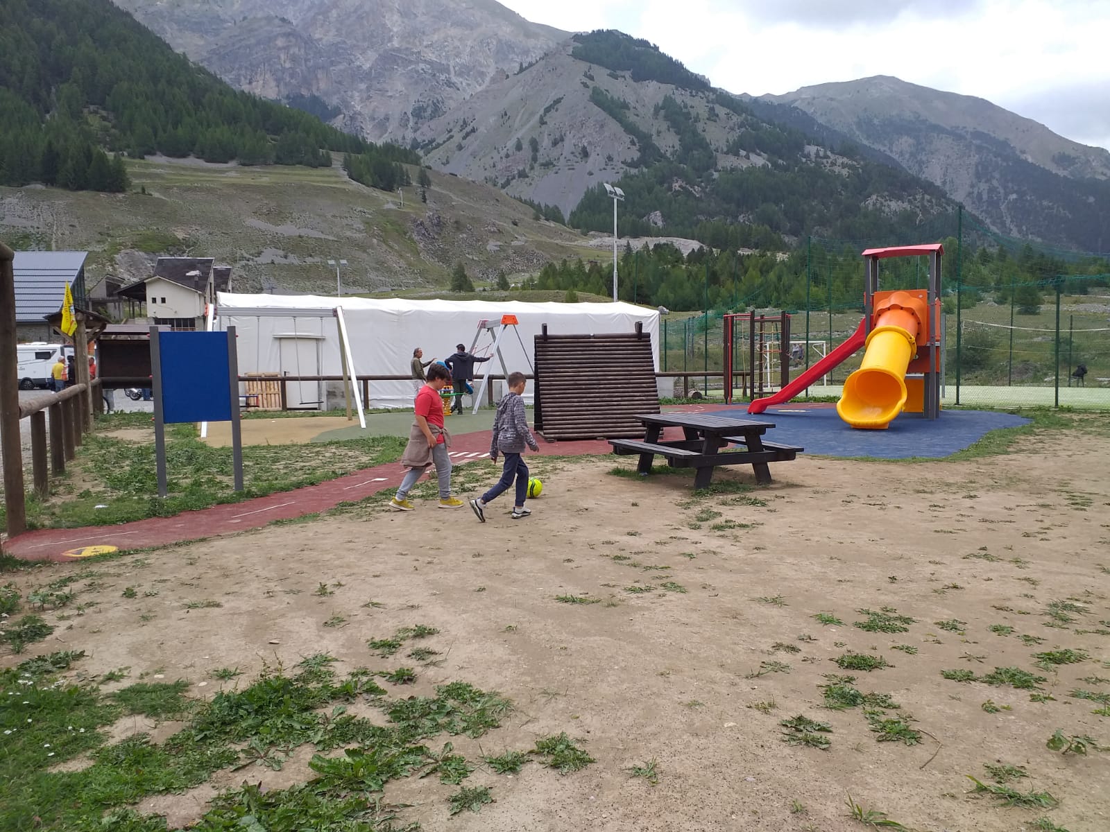
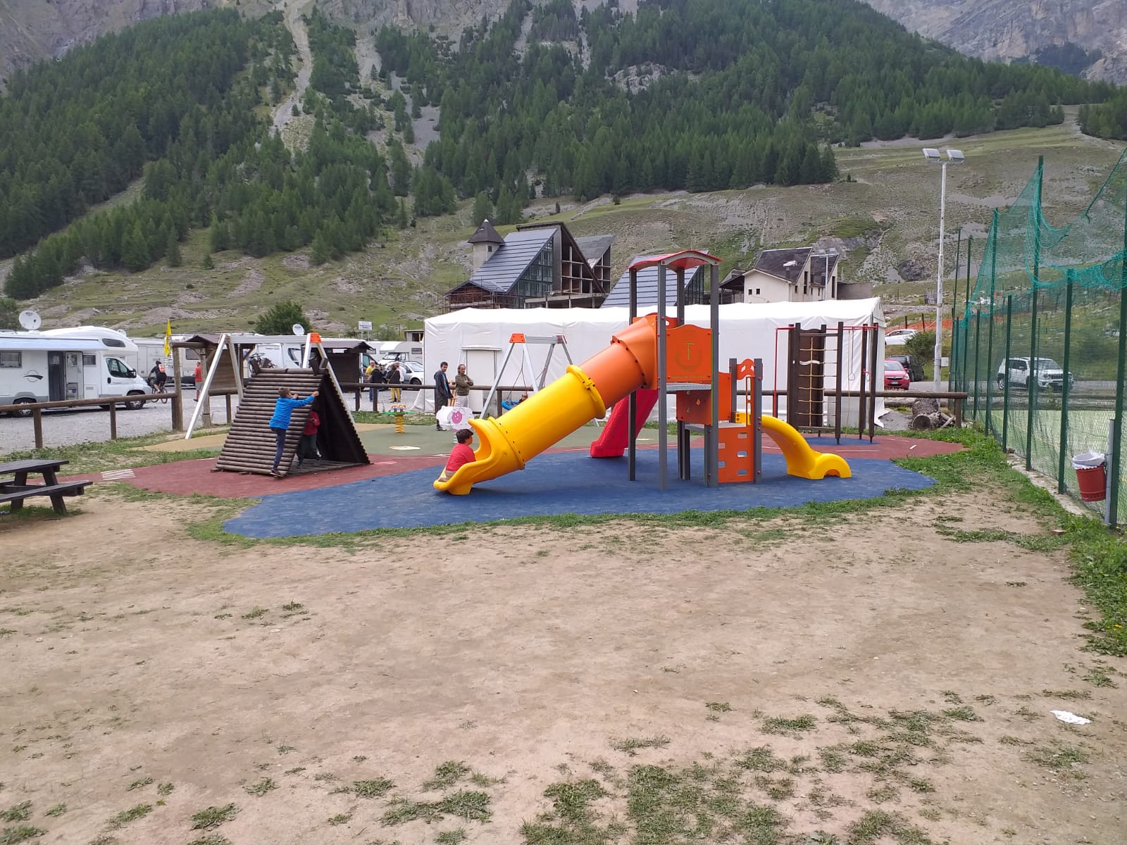
Picnic Area

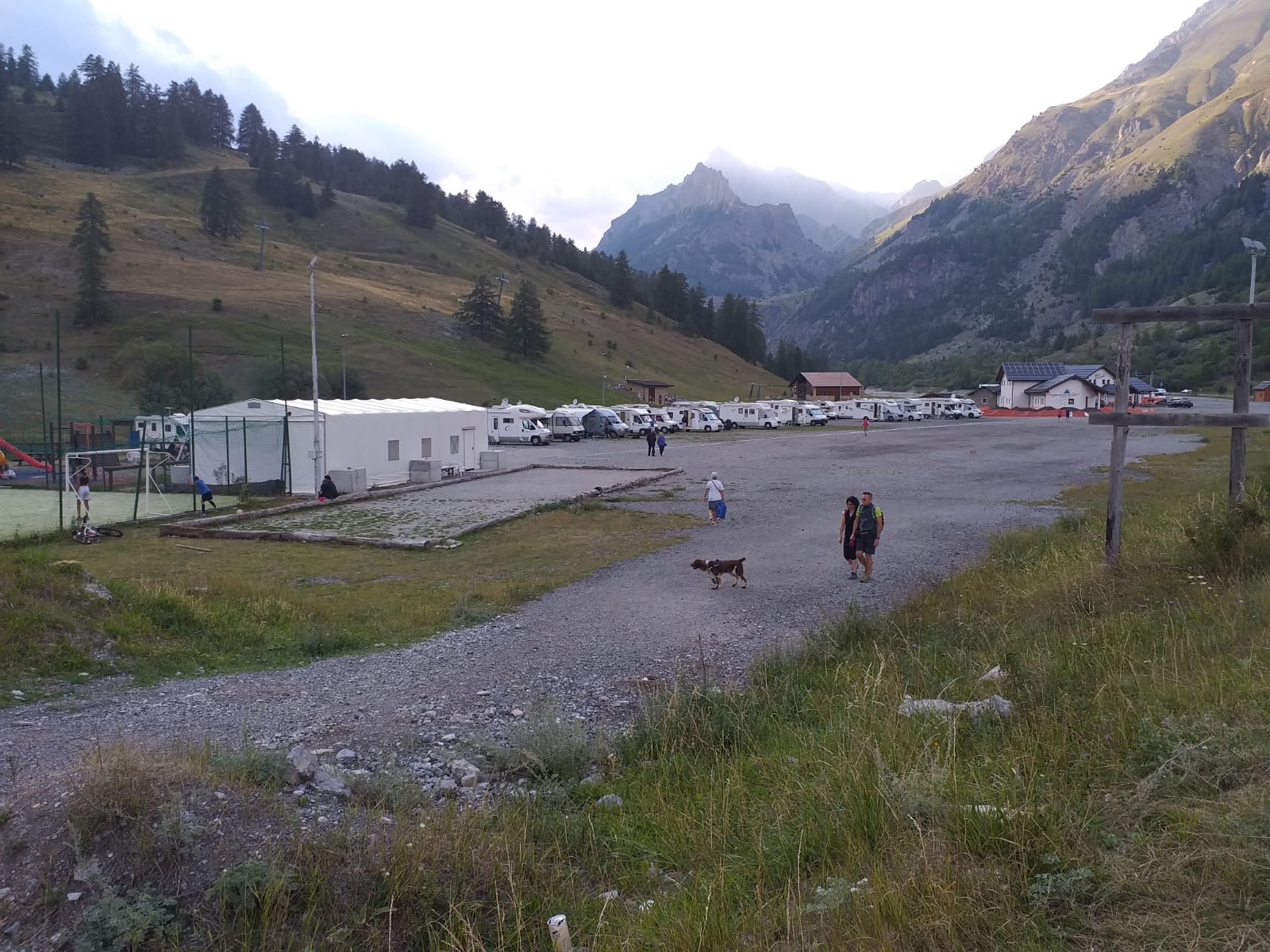
Pets Allowed

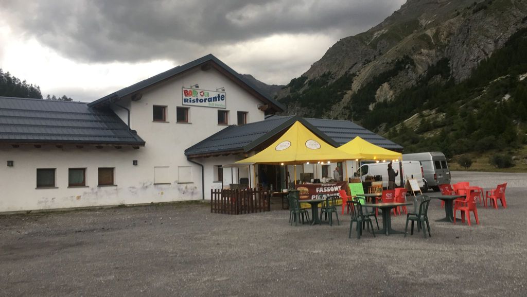
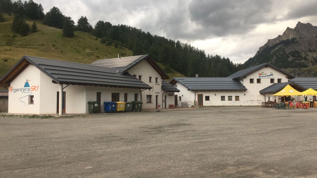
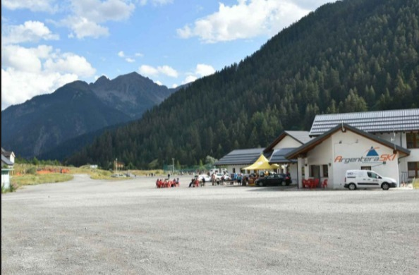
Restaurant

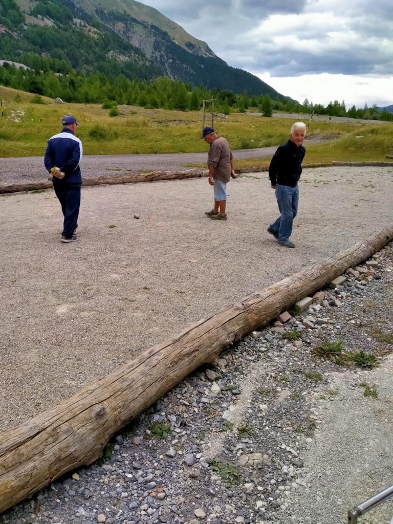
Bocce Court

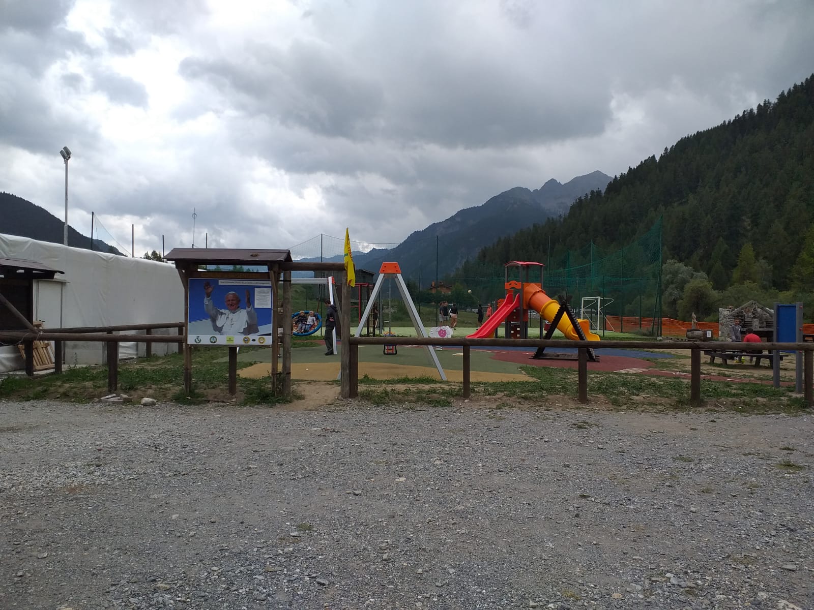
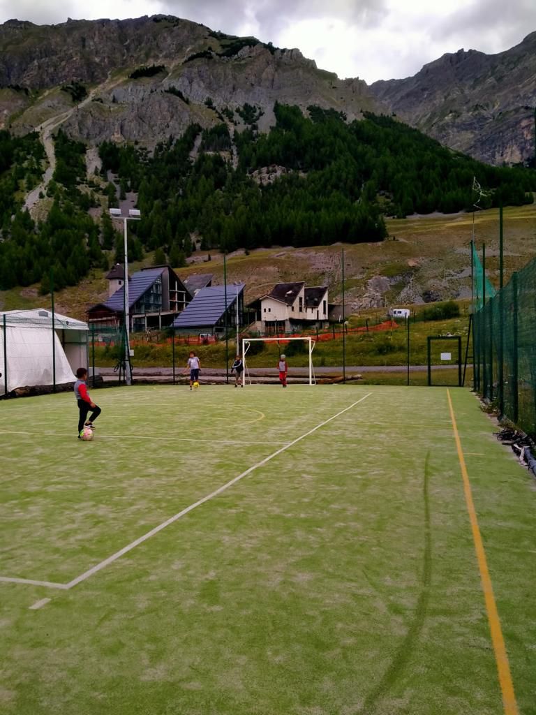
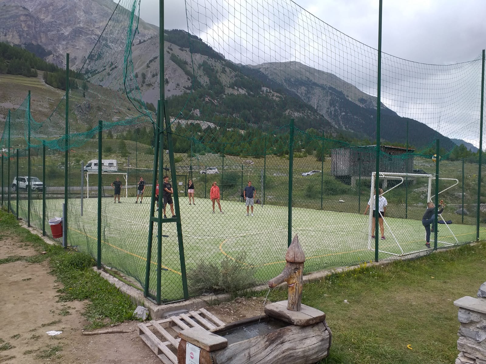
Soccer Field
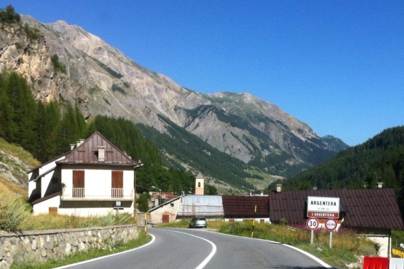


Municipality of Argentera

Pro Loco

Tour Guide

Free Entrance
Annual Opening
Electrical Connection
Water Load
Waste Water Discharge
Empty-Cassette Service
Gravelly Bottom
Barbeque Area
Picnic Area
Pets Allowed
Restaurant
Bocce Court
Soccer Field
Municipality of Argentera
Pro Loco
Tour Guide

![]() The Actitalia Federation is a point of reference for all clubs, their members and the entire movement tourism industry.
The Actitalia Federation is a point of reference for all clubs, their members and the entire movement tourism industry.

")
")


